
Discover exceptional hospitality across 18 regions — and give back with every listing.
100% of proceeds to Philippine Red Cross
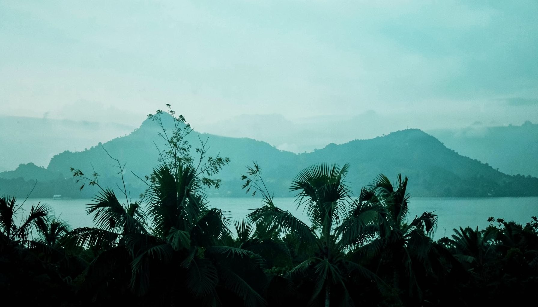
What We Offer
Send Money & Load
- Send Money — free
- Send Load — free
- Ask a Question about the Philippines
Simple, no-cost services for the community.
Business Listings
- Instant Listing — ₱99.00 ($1.99), no expiration
- Free Listing — ₱0.00, unlimited submissions
- Featured Listing — ₱999.00/year ($19.99)
Dining, Lodging, Outdoor Activities, and Nightlife categories.
Philippines Gifts
- Philippines-themed gifts available
- Every purchase supports the Philippine Red Cross
Share a piece of the Philippines with someone special.
Across Every Region
From the rolling hills of the Ilocos Region and the highlands of Cordillera, through the vast Cagayan Valley and the vibrant streets of the National Capital Region, down to the pristine shores of MIMAROPA and the fiery landscapes of Bicol — Salamat Philippines brings together listings that span all 18 regions. Whether you're drawn to Western Visayas, the Negros Island Region, Central or Eastern Visayas, or the southern reaches of Zamboanga Peninsula, Northern Mindanao, Bangsamoro, Caraga, SOCCSKSARGEN, and Davao Region, there is something here waiting to be discovered.
Featured listings have included Herbie's Catering & Events (serving since 2007, phone 0915-3545079, 59 Acapulco), ABC Hotel (phone +63 45 892 2222, Don Juico Avenue), and the BenCab Museum (phone +63 74 442 7165, Km 6 Asin Road). Browse, upvote your favorites, and sign the guest book to say Salamat.
Visiting Masungi Georeserve with Confidence
Masungi Georeserve is a protected limestone landscape in Baras, Rizal, where karst formations, forest trails, hanging bridges, rope sections, and panoramic viewpoints create an active day trip from Metro Manila. The area is designed as a guided conservation experience rather than a conventional public park, so visitors need to plan ahead before arriving.
A successful visit depends on two things: securing an approved reservation and choosing a route that matches the group’s fitness, comfort with heights, and available time. The paths are carefully built, but the terrain remains natural and can become slippery or physically demanding during wet weather.
The reserve’s conservation model also affects the visitor experience. Access is controlled, group movement is guided, and the conservation fee supports site management. Travelers who want more ideas for nature trips, accommodations, and regional attractions can browse the Salamat Philippines travel blog before building a wider Rizal itinerary.
Understanding the reserve and its setting
Masungi Georeserve sits within a karst landscape formed from limestone, with dramatic rock towers, caverns, forest corridors, and elevated viewpoints. Its name is associated with the Tagalog word “sungi,” referring to a jagged or tooth-like shape, an apt description of the area’s distinct formations.
The reserve is reached through the Marcos Highway corridor, generally taking around one to two hours from Metro Manila depending on traffic, weather, and the starting point. The journey can take longer on weekends and holidays, especially when road congestion builds around Antipolo, Tanay, and nearby mountain destinations.
This is not a self-guided hiking site where guests can arrive, pay at a gate, and choose any visible path. Visitors join a scheduled guided experience, follow the designated route, and observe conservation rules designed to reduce erosion, litter, disturbance to wildlife, and damage to fragile formations.
The surroundings are cooler and greener than much of the city, but conditions can change quickly. A clear morning may become humid or rainy later in the day, so trail planning should include extra time and practical clothing rather than relying only on a favorable weather forecast.
How the reservation and permit process works
Masungi visits must be arranged in advance through the reserve’s official booking channels. The process normally involves selecting a trail, checking available dates and time slots, entering the number of participants, providing required guest details, and completing payment or other confirmation steps. A booking confirmation serves as proof that the group has an assigned visit.
The term “permit” is often used casually by travelers, but the important document is usually the confirmed reservation issued by the georeserve. It grants access to a particular experience, date, and group arrangement. It does not give permission to explore outside the marked route or enter the property independently.
Walk-ins should not be assumed to receive entry. Availability is limited because the reserve controls visitor numbers and assigns guides to each group. Booking early is especially important for Saturdays, Sundays, public holidays, school breaks, and dates with favorable weather. Before paying, check the current rules, rates, cancellation terms, arrival instructions, and accepted forms of identification.
Keep a digital and offline copy of the confirmation. The reservation holder should make sure names, contact information, group size, and selected trail are accurate. If someone in the party cannot attend, contact the reserve through its official channels instead of attempting an informal substitution at the gate.
Comparing the main trail experiences
The Discovery Trail is the route most associated with a first visit. It combines forest walking, limestone scenery, elevated platforms, bridges, nets, ladders, and several viewpoints. Although it is approachable for many active visitors, it should not be described as an easy stroll. Guests need to climb, balance, bend, step across uneven surfaces, and remain comfortable with exposed views.
The Legacy Trail generally involves a longer and more physically demanding experience, with additional walking and sections that require greater endurance. It is better suited to guests who are comfortable spending several hours outdoors and handling repeated ascents, descents, and elevated structures.
Trail names, schedules, access conditions, and available experiences can change as conservation work, weather, and maintenance requirements evolve. The booking page is the reliable source for current route options. The comparison below describes the usual character of each experience rather than guaranteeing a fixed itinerary.
| Trail experience | Typical character | Physical demand | Best suited to |
|---|---|---|---|
| Discovery Trail | Guided loop with rock formations, forest paths, bridges, nets, and viewpoints | Moderate; requires balance, stairs, climbing, and steady walking | First-time visitors with reasonable mobility |
| Legacy Trail | Longer route with added walking and more sustained effort | Moderate to challenging; more tiring over several hours | Active hikers and guests seeking a fuller outing |
| Weather-affected route | Trail experience adjusted for rain, safety, or maintenance | Variable; slippery ground can increase difficulty | Flexible visitors prepared for changes |
Both routes can feel more challenging than their labels suggest because the difficulty comes from a combination of factors. Heat, humidity, wet surfaces, fear of heights, and the cumulative effect of climbing can matter as much as distance. A guest who regularly walks on city pavements may still need breaks on the reserve’s uneven terrain.
What makes the trail difficult
Masungi is not generally a technical mountaineering route, and visitors do not need advanced climbing skills. Still, the experience includes features that demand attention: steep stairways, narrow passages, rock surfaces, suspended walkways, rope-assisted sections, and platforms above the forest. The structures are designed for visitor access, but they require deliberate movement.
The greatest challenge for many people is sustained effort rather than a single extreme obstacle. Participants may climb several times, descend, crouch, stretch across steps, and hold handrails or ropes. The route can be tiring for anyone with limited exercise habits, joint pain, balance problems, or a strong fear of heights.
Rain changes the character of the outing. Rocks, stairs, soil, and wooden surfaces may become slick, while visibility at viewpoints can disappear. Guides may slow the group, modify an activity, or restrict access to a section when conditions are unsafe. This is part of responsible site management, not a sign that the visit has failed.
Families should consider each child’s height, coordination, patience, and reaction to elevated structures. Older adults and travelers recovering from an injury should assess whether they can manage stairs, ladders, and prolonged walking. When medical concerns exist, professional advice and direct communication with the reserve are more appropriate than relying on online descriptions.
Preparing for a comfortable visit
Wear closed-toe shoes with reliable traction. Hiking shoes are useful, but sturdy athletic shoes may work if they fit securely and have soles suitable for wet or uneven ground. Avoid sandals, smooth-soled footwear, loose accessories, and clothing that restricts movement.
Pack lightly because bulky bags can interfere with ropes, nets, ladders, and narrow sections. Bring drinking water, sun protection, insect repellent, a small towel, and a waterproof pouch for essential electronics. Weather protection should be practical: a compact rain jacket is usually easier to manage than a large umbrella on a guided trail.
A small amount of preparation can make the route safer and more enjoyable:
- Check the forecast and reserve notices on the morning of the visit.
- Arrive early enough for registration, orientation, and a calm start.
- Eat a sensible meal beforehand, especially if choosing the longer route.
- Tell the guide about relevant mobility, balance, or health concerns.
- Keep phones, cameras, and loose items secured throughout elevated sections.
Visitors should also protect the place they came to see. Stay with the assigned group, remain on marked paths, do not climb restricted formations, and take all personal waste out. Feeding wildlife, picking plants, carving rock, or using drones where they are not permitted can harm the environment and disrupt other guests.
Planning transport, timing, and nearby stops
Private cars, hired vehicles, and organized transfers are common ways to reach the reserve. Public transport may require multiple connections and a final ride along roads where service can be less predictable. Travelers without a car should arrange the complete journey in advance, including the return trip, rather than assuming a vehicle will be readily available after the hike.
Traffic deserves serious attention. A reservation time is not a target departure time from Manila; it is the time by which guests need to be ready at the reserve. Leave a generous buffer for congestion, navigation mistakes, fuel stops, and weather-related delays. Confirm the meeting point and parking instructions directly through the booking information.
The trail itself commonly takes several hours, with orientation, walking, photography, rest stops, and guide-led activities included. Avoid scheduling a rushed airport transfer, business meeting, or distant attraction immediately afterward. A slower itinerary also leaves room for changing trail conditions or a delayed return to the city.
Rizal can support a broader day trip, with restaurants, viewpoints, cultural sites, and other outdoor attractions in the wider area. However, adding several demanding activities after Masungi may leave the group exhausted. A relaxed meal or nearby stop is usually more practical than trying to complete an ambitious circuit.
For accommodation, dining, transport, and other services across the country, the Salamat Philippines directory can help travelers compare options while supporting a platform connected to Philippine communities and destinations.
Making the experience work for your group
The best trail choice is based on the least confident or least mobile person in the party, not the strongest hiker. Friends may be able to separate into different bookings when the reserve’s schedule permits, but a group should discuss height exposure, walking stamina, weather tolerance, and photography habits before confirming a route.
Photographers should remember that stopping on bridges, ladders, or narrow trail sections can delay the group and create safety risks. Guides control movement through these areas, so visitors should follow their instructions and wait for designated viewpoints before taking extended photos. A phone strap or compact camera setup is more practical than changing lenses in exposed locations.
The conservation fee pays for more than scenery. It supports guides, trail upkeep, habitat protection, visitor management, and restoration work in a sensitive landscape. Paying for an official reservation and following the rules helps maintain the area for future visitors while reducing pressure on unmanaged sites nearby.
A prepared guest arrives with realistic expectations: this is an active, guided nature experience, not a luxury resort excursion or an effortless photo stop. With the correct footwear, sufficient time, an approved reservation, and a trail suited to the group, Masungi can be memorable for its scenery and for the thoughtful way that scenery is protected.
Check the official Masungi Georeserve booking information before setting a date, secure the appropriate guided experience, and use the Salamat Philippines resources to plan the rest of a responsible trip through Rizal.

Get in Touch
Connect with Salamat Philippines on social media or send a message. We'd love to hear from you.
Facebook: /salamatphilippines
Twitter: @salamatphil
Instagram: @salamatphilippines
YouTube: salamat-philippines
LinkedIn: company/salamat-philippines
Email: [email protected]